


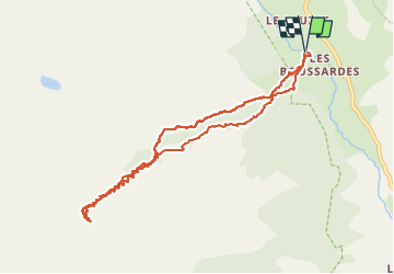

5.2 km | 12.8 km-effort

User


FREE GPS app for hiking
 SityTrail
IGN / Geographical institutes
SityTrail World
The world is yours!
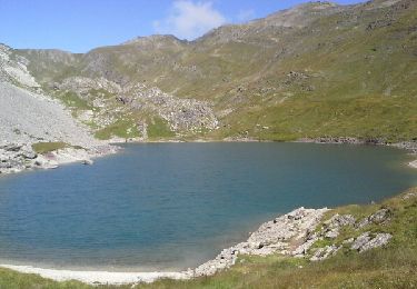
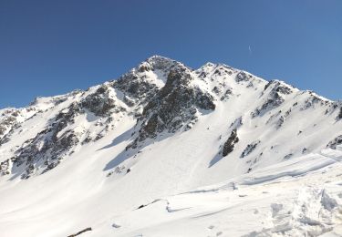
Trail Touring skiing of 9.4 km to be discovered at Provence-Alpes-Côte d'Azur, Hautes-Alpes, Le Monêtier-les-Bains. This trail is proposed by nadd73.
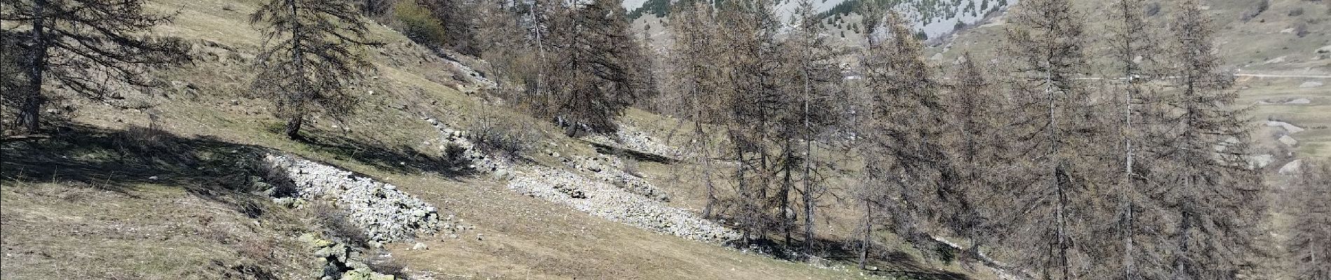
si neige dure prévoir Couteaux et crampons.


Walking
Walking

Walking
Walking

Via ferrata

Walking
Walking
Walking
Touring skiing